
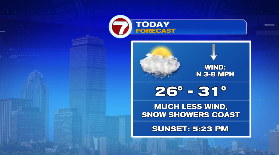
Cold is cold and today will be another cold day, but without the biting wind, it will be much more tolerable to be outside. Morning sunshine will give way to clouds for most of the day, but thankfully our wind stays below 10 mph all day long. Temperatures will climb to around 30° this afternoon with a few snow showers coming out of those clouds for those on the coast.
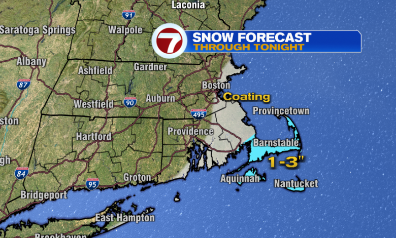
For most of us, the snow is very low impact. If you even see a snow shower today, it’ll be quick to pass and will leave a coating at best from Cape Ann to Boston and the South Shore. Where the snow showers become steadier later this evening, you will pick up a couple of inches — and that is only the Cape and Islands.

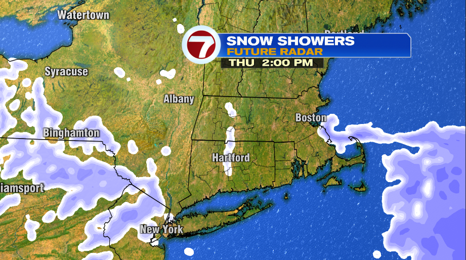
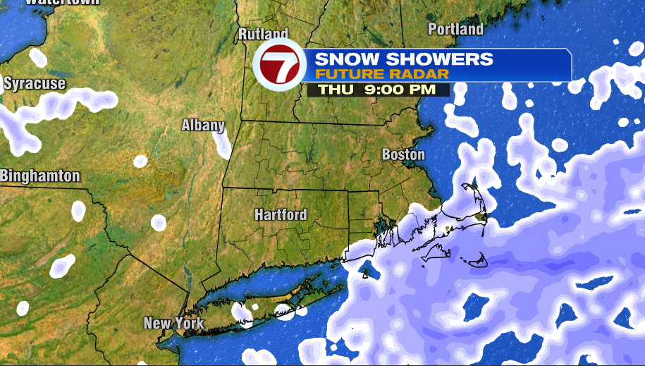
Think of the snow showers coming in two waves or time periods today. For those on the coast and expecting a passing snow shower, that’s the midday hours from late morning through the afternoon. After sunset tonight, some ocean enhancement will help the snow showers on the Cape and Islands blossom and it will snow for a few hours there. These should wrap up shortly after midnight, but after a few hours of snow showers, you’ll have to shovel a couple of inches.
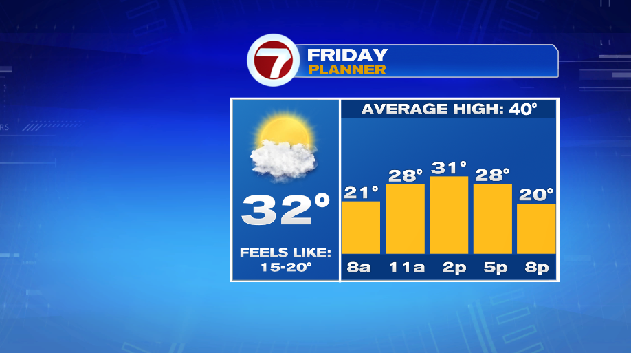
The snow showers are long gone by Friday morning but that pesky wind will be back for another day. It won’t be to Monday or Tuesday’s level but it’s still a gusty day that will push our wind chills down into the teens for most of the afternoon.
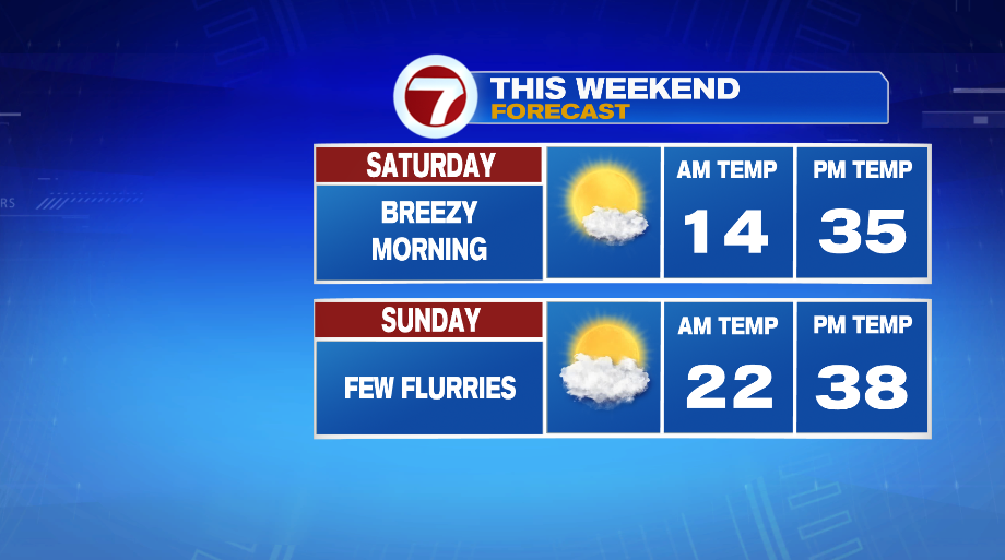
The breeze will linger into Saturday morning, but overall it’s looking much nicer this weekend. The wind will back down and temperatures will slowly warm up back (closer) to average. Forty is average for mid February and I’m still not sure we get there on Sunday but it’s better than the 20s we’ve had this week. The wind will stay in check too for most of the weekend.
https://whdh.com/wp-content/uploads/sites/3/2025/02/blog-2-52.png
2025-02-20 05:58:50